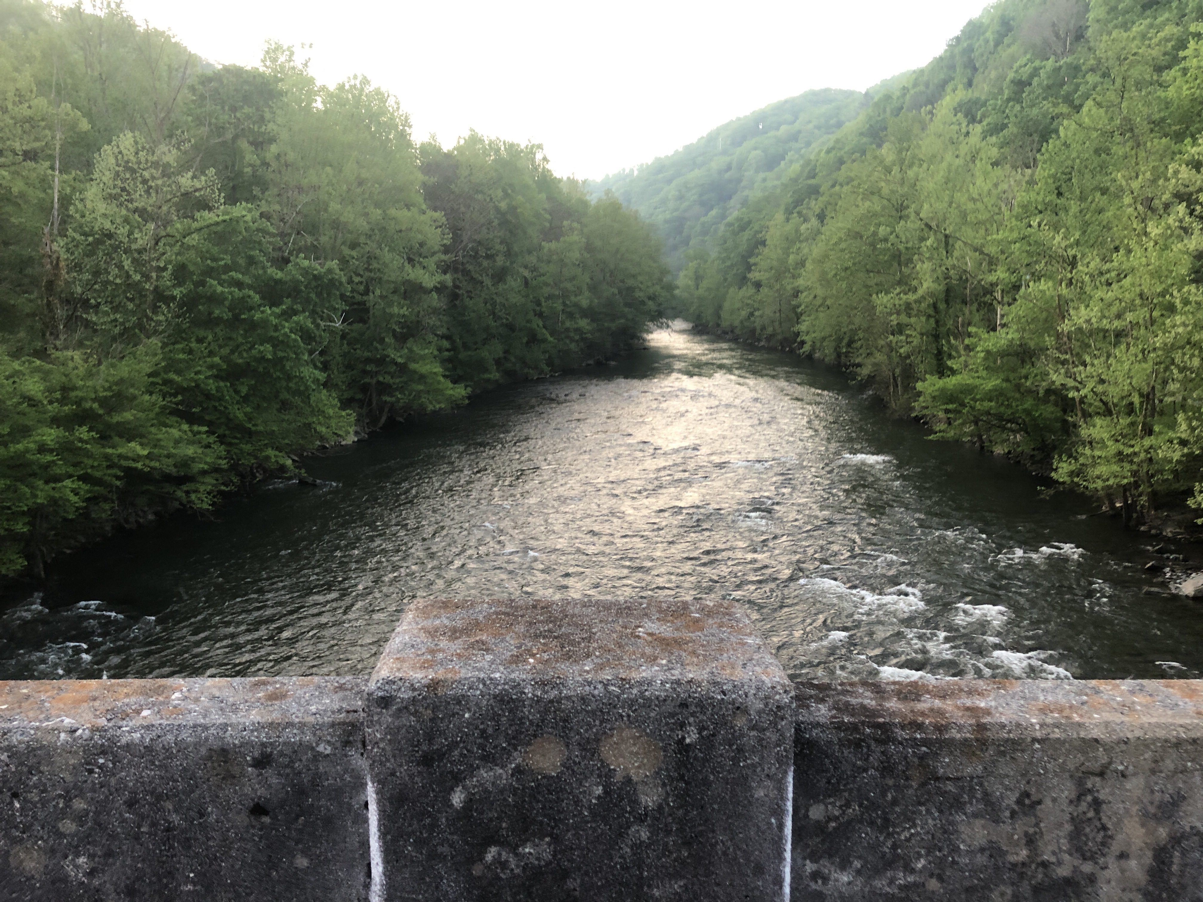
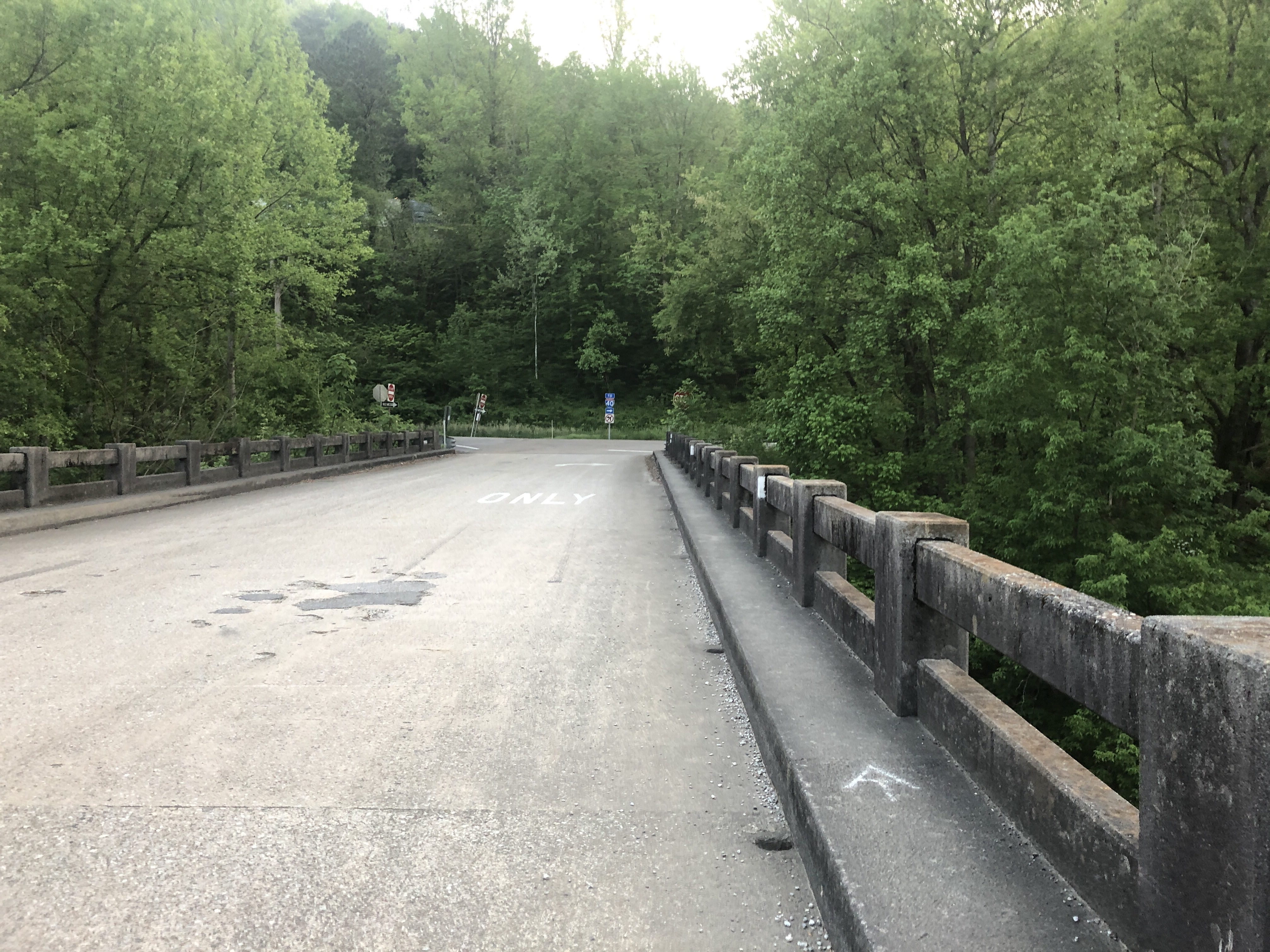
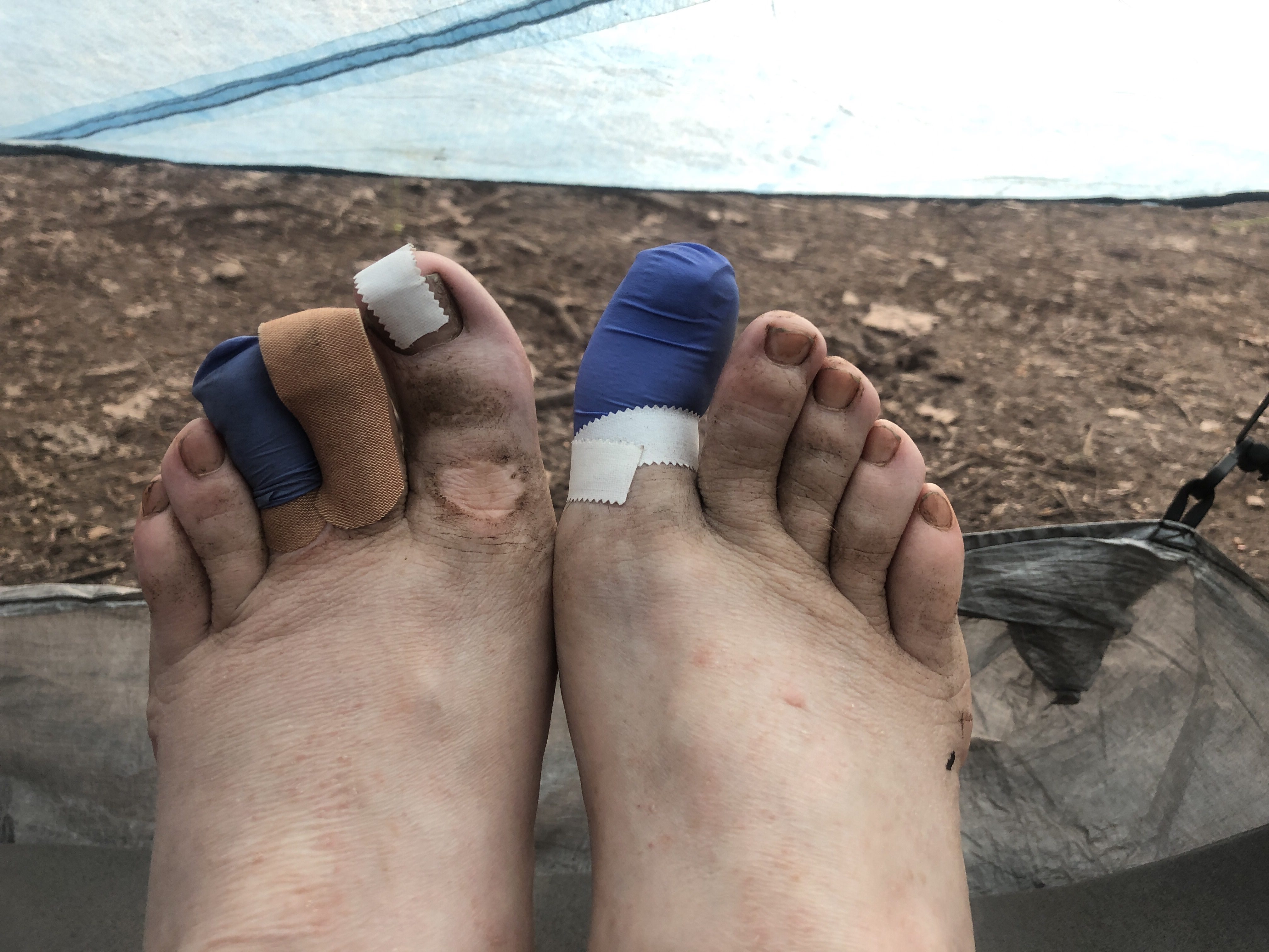
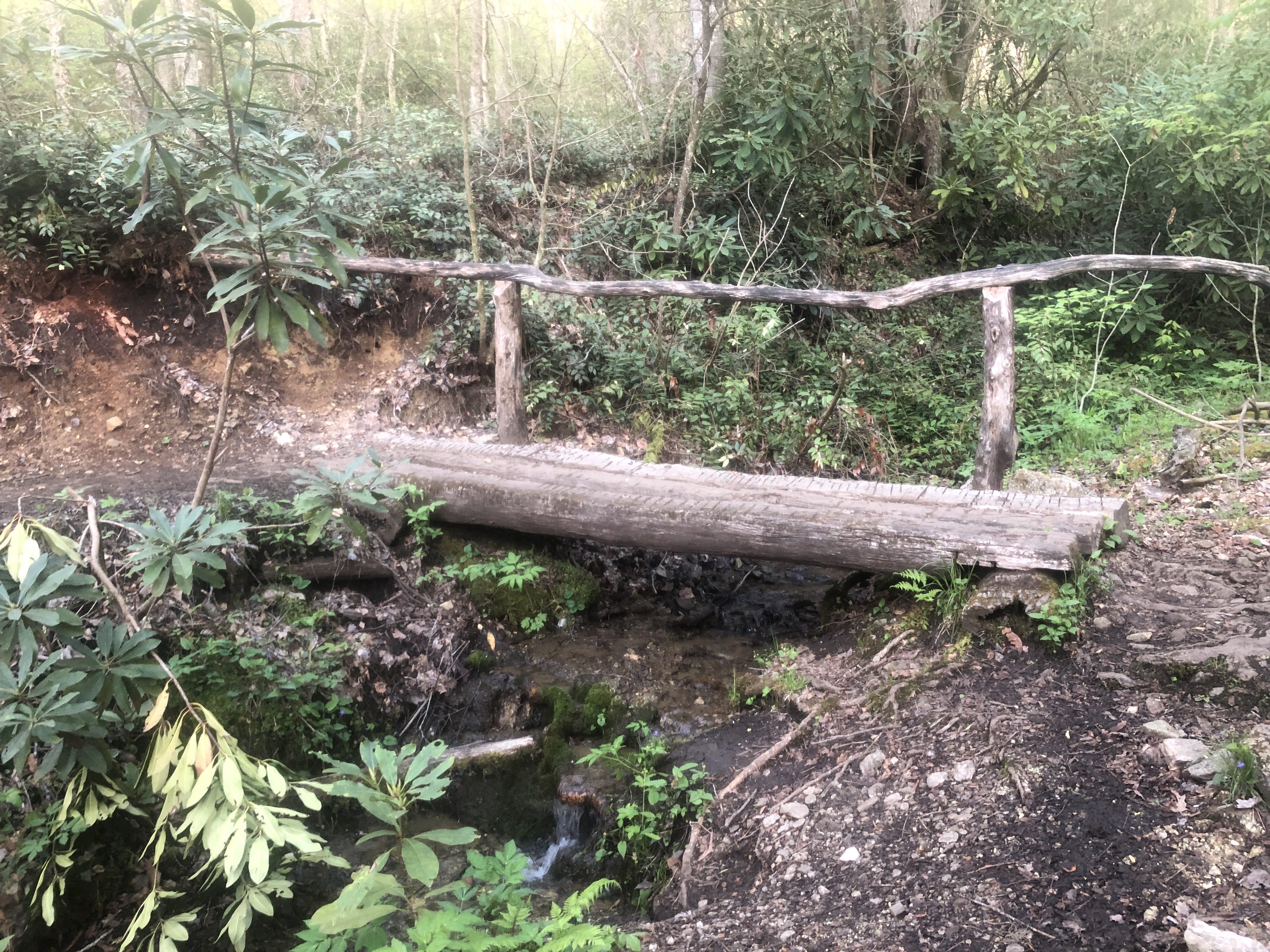
The easy and safe way to cross a river near Interstate 40Follow the white blazes or the AT symbols to find your way across the bridgeThe toes get sadder and sadder. Now the right foot big toe needed some loving, because I wore the skin off the tip. Also this is more realistic because of the dirt too. PS nothing actually hurts.Small stream requires small bridge, all handcrafted from local lumber.Local volunteer organization maintain the trailIn Hot Springs NC the trail goes right through town so they’ve marked it with embedded emblems in the sidewalkPassed mile 300 today and had a difficult rocky climb but the view was greatAnother picture from the summit, but didn’t stay long. I’ve got miles to hike so on I go.
5 thoughts on “Keep moving”
Beautiful territory, looks inviting (perhaps less so after 300+ miles). We were in the Smoky Mountains on the Blue Ridge Parkway a couple of years ago and thoroughly enjoyed it. I’m sure your perspective is much more intense and immersed. Nice photos too. Thanks for taking the time to post them when you must be ready to do anything other than fiddle with technology.
The AT roughly parallels the Blue Ridge Parkway for the northernmost 100 miles of the parkway. This is in the area north of Roanoke, VA. In fact, one of the two lodges we stayed at along the parkway, the Peaks of Otter Lodge, is about 5 road miles from the AT / BRP crossing at Bearwallow Gap, VA which is at AT mile 740.3 from Springer. The lodge is 5 miles northbound (compass direction is to the south-east) along VA 43 which is the Blue Ridge Parkway. Lovely quiet lodge with excellent food.
What you are doing is amazing Bri! The photographs are beautiful except for your poor toes. Hugs and Kisses my love, Your Starr
Beautiful pictures. Thhanks for posting. Enjoy your quest!
Thanks for all the suggestions and comments. Margie I’m heading you way, but it’ll be weeks until then